CA EDM RG-200-8-EAM-4
·
Unidad documental simple
·
[ca. 1978]
Parte de City of Edmonton Archives Collection
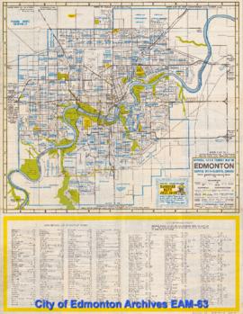
This map includes various places of interest, including swimming pools, hospitals, and parks. The verso includes a map of downtown Edmonton and an "Edmonton Mini-Map".