Aperçu avant impression Fermer

Affichage de 234 résultats

Description archivistique
190 résultats avec objets numériques Afficher les résultats avec des objets numériques
Subdivision Files
CA EDM RG-17-17.12 · Série · 1910 - 1990, predominant 1949 - 1990
Fait partie de City of Edmonton. Planning Department fonds

This series contains subdivision files created by the City when land was subdivided. The files typically include applications, correspondence, and subdivision plans. The original filing systems have been retained. Subdivision files were typically identified by "year-X-number" and subdivision name.

Boxes 1-12
Between 1960 and 1965 subdivision files were arranged by year, then alphabetically by subdivision name.

Boxes 13-31
Between 1966 and 1974 subdivision files were arranged by year in zones (Yellow, White, Red, Green, and Blue).

Boxes 31-189
By the mid-1970s the subdivision files were arranged numerically by file number.

Boxes 190-196
At some point subdivision plans from 1973 to 1980 were removed from the files and stored them separately.

Boxes 197-201
These boxes contain subdivision files which had been removed from the original filing system and filed separately, alphabetically.

Boxes 201-243
These boxes contain subdivision files created by separate municipalities prior to the land being annexed by the City of Edmonton. These files were then transferred to the City for use by planners. The files are described using the Alberta Township Survey System and were generally arranged by the originating municipality.

Boxes 244-297
These boxes contain replot files, created when previously subdivided land had to be resubdivided by the City.

Boxes 298-315
These boxes contain a subdivision file index card reference system created by the department to keep track of subdivision applications and outcomes between ca. 1959 and ca. 1977. While much of the information is duplicated in the subdivision files, there are instances where the subdivision file has been lost and the index cards are the only source of information.

Land Use Bylaw Files
CA EDM RG-17-17.13 · Série · 1971 - 1992
Fait partie de City of Edmonton. Planning Department fonds

This series consists of Land Use Bylaw files. These files contain the records created through the process of amending zoning (generally 2135 Zoning Bylaw and, later, 5996 Land Use Bylaw) to allow for new development, including applications, correspondence, copies of bylaws, and other documentation.

Address Coordination Committee
CA EDM RG-17-17.4 · Série · 1955 - 1991
Fait partie de City of Edmonton. Planning Department fonds

The Address Coordination Committee was tasked with solving issues born from the City of Edmonton's growth. The Committee's responsibilities include assigning new street and avenue numbers as well as coordinating new addresses for housing developments.

This series consists of material related to numbering streets in the City of Edmonton. While most of the content is correspondence, some plans for implementation are included.

Orphaned Material
CA EDM RG-11-11 · Série · 1918-[ca.1977], predominant 1927-1970
Fait partie de City of Edmonton. Office of the City Commissioners fonds

This series consists of photographs which mostly depict residential and commercial buildings, but there are also photos of individuals, events, civic infrastructure and facilities, and proposed developments. There are also maps and architectural drawings which are predominantly associated with plans for development and construction.

Ivor Dent
CA EDM RG-6-6 · Série · 1966 - 1975
Fait partie de City of Edmonton. Office of the Mayor fonds

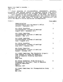
The series consists of correspondence, engagements, speeches, brochures, and various reports on subjects ranging from social conditions to infrastructure and economic development in Edmonton.

The series also includes photos of Ivor Dent and Clennell Hagerston “Punch” Dickins (EA-353-5, EA-353-8, EA-353-9, EA-353-10, EA-353-11).

Sans titre